2019 Hurricane Dorian and 6.4 Mw Puerto Rico Earthquake Swarm
Hurricane Dorian devastated the Bahamas in 2019, causing extensive damage, widespread flooding, and resulting in at least 74 deaths while also displacing tens of thousands of people and causing long-term environmental and economic damage.
Shortly after Hurricane Dorian, RAPID staff took the Applied Streetview system to the Great Abaco and Cay Islands of the Bahamas to join StEER’s Field Assessment Structural Team Mission. RAPID made these streetview data available after returning to headquarters. A month after Hurricane Dorian, the Applied Streetview system returned to the Bahamas to help the StEER FAST team further map and image storm surge damage at various landfall points across the archipelago.
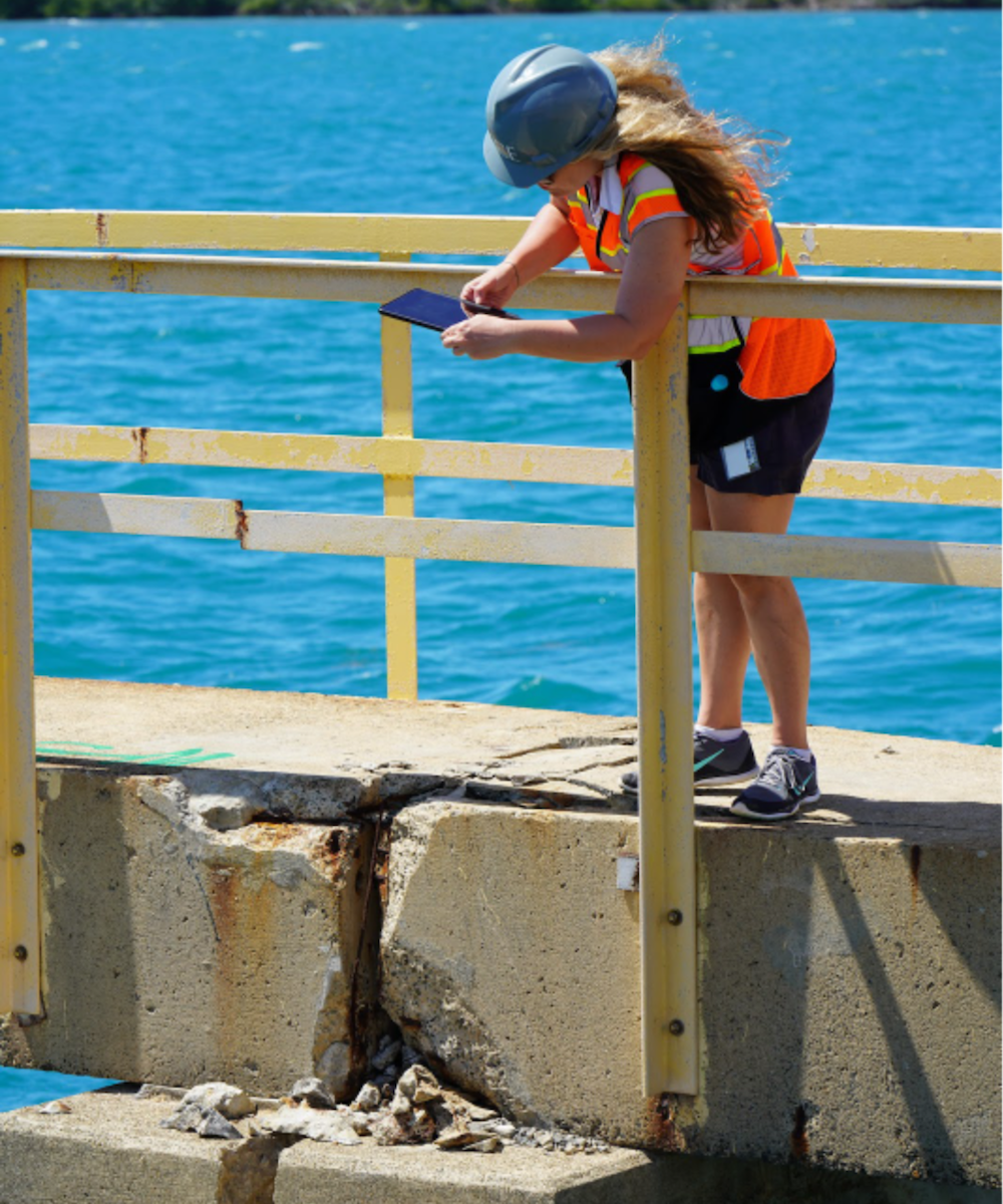
RAPID staff went to Ponce, Puerto Rico, in support of a project to determine if the impacts of Hurricanes Maria and Dorian resulted in an increased level of damage — or caused unexpected modes of failure — during the 2020 earthquake series. The team — led by Associate Professor Arash Zaghi and Assistant Research Professor Alexandra Hain, both at the University of Connecticut, and Professor Jamie Padgett at Rice University — collected a comprehensive dataset using standard and 360-degree geotagged photography, aerial images from a drone, and structural scans of damaged buildings from the Leica RTC360 scanner.