

RAPID Deployments

Oso Landslide
Our drone-mounted aerial lidar scanners were recently deployed to the site of the 2014 Oso Landslide to map changes to the area over the past decade.

Hurricane Hilary
RAPID Facility staff deployed with terrestrial LiDAR to support the Center for Land-Surface Hazards (CLaSH) to document damage in Death Valley National Park and San Bernardino County following Hurricane Hilary in 2023.
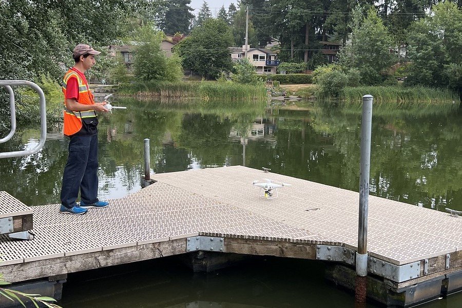
Freshwater Algae Blooms
Typical water sampling can leave gaps in assessing entire bodies of water. Our multispectral camera was mounted to a UAS platform to calculate algae bloom indices of a lake.