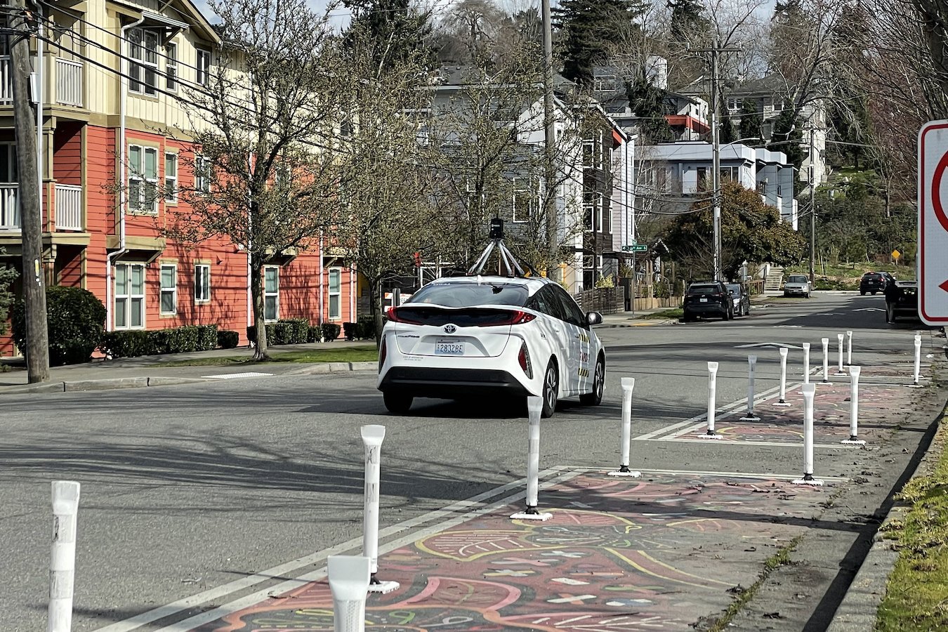
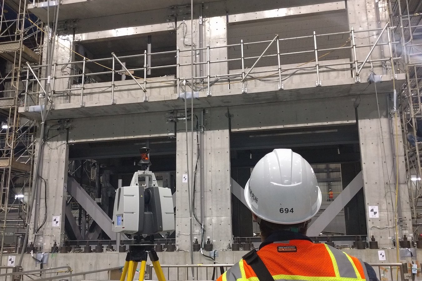
Example Projects Example projects below illustrate the use of RAPID resources in the field and highlight collected data Featured Skykomish Wildfires Skykomish, WashingtonNovember 2022 Read More → Hurricane Fiona Puerto RicoOctober 2022 Read More → 2022 Hurricane Ian Fort Myers, FloridaSeptember through November 2022 Read More → 2021 Marshall Colorado Wildfire Louisville and Superior, ColoradoJanuary through March 2022 Read More → 2021 Mayfield Kentucky Tornados Mayfield, KentuckyDecember 2021 Read More → 2021 Hurricane Ida Louisiana CoastAugust through October 2021 Read More → Western Germany Ahr Valley Flooding Ahr Valley, GermanyAugust 2021 Read More → Surfside Condo Collapse Surfside, FloridaJuly 2021 Read More → Haines Alaska Landslide Haines, AlaskaJune 2021 Read More → 2020 6.4 Mw Croatia Earthquake Sinkholes Petrinja, CroatiaMarch 2021 Read More → 2020 Oregon Wildfires Eugene, Bogus Creek and Dodson, OregonOctober 2020 through March 2021 Read More → Yellowstone Landslide Monitoring and 2022 Flooding Work Yellowstone National ParkSeptember 2020 through April 2023 Read More → 2020 Midwest Derecho Cedar Rapids, IowaAugust through September 2020Read More Read More → Westport Tsunami Hazard Planning Westport, WAAugust 2020 to May 2021 Read More → 2020 Southeast Hurricanes, Laura, Delta, Zeta The Gulf CoastJune through October 2020 Read More → COVID-19 Pandemic Streetview Campaign Seattle, WashingtonApril 2020 through 2023 Read More → Blast Liquefaction Testing Christchurch, New ZealandDecember 2019 and 2021 Read More → DUNEX Collaboration Duck, North CarolinaOctober 2019 Read More → 2019 Hurricane Dorian and 6.4 Mw Puerto Rico Earthquake Swarm The Bahamas and Ponce, Puerto RicoSeptember 2019 through March 2020 Read More → 2019 6.4 Mw Ridgecrest Earthquake Series Ridgecrest, CaliforniaJuly 2019 Read More → 2016 7.8 Mw Kaikoura Earthquake Wellington, NZMay and September 2019 Read More → Camp Wildfire Paradise, CaliforniaMarch and October 2019 Read More → Highway 101 Hooskanaden Landslide Gold Beach, OregonMultiple trips from 2019 through 2023 Read More → Lidar Survey of Waves Lemoore, CaliforniaMarch 2019 Read More → Oregon Inlet, NC - Coastal Erosion Oregon Inlet, North CarolinaJanuary to October 2019 Read More → E-Defense Earthquake Experiments Kobe, JapanJanuary and December 2019 Read More → 2018 Mw 7.1 Anchorage Earthquake Anchorage and Palmer AlaskaMultiple trips from 2018 through 2020 Read More → Spangler Landslide Molino, OregonDecember 2018 Read More → 2018 Mw 7.5 Sulawesi Earthquake and Tsunami Palu IndonesiaOctober through November 2018 Read More → 2018 Hurricane Michael Florida PanhandleOctober and November 2018 Read More →


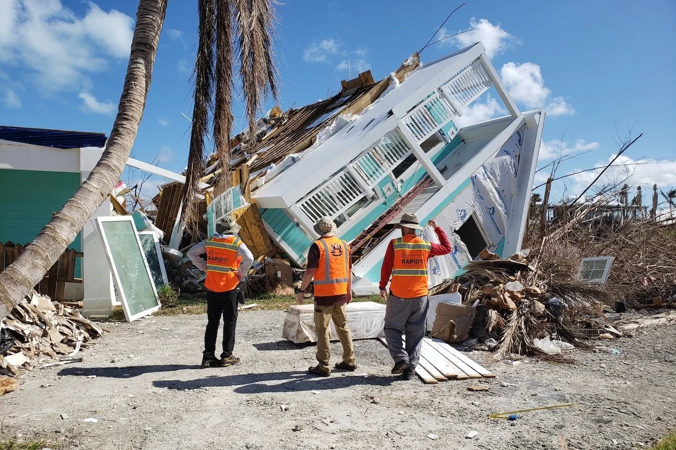


Surfside, Florida
July 2021